 MAS-GIT
program at Delta State University
News
Graduates
Advisor
This page shows some of our student research projects. Students gain real-world research experience and learn how to use cutting-edge GIS and remote sensing instruments for data acquisition. They also grasp skills of geospatial data analysis and image processing. |
MAS-GIT 2014 students work with Dr. Yongqin Zhang and research
scientists at USDA Agricultural Research Services to fly and test a DJI
Phantom Unmanned Aerial Vehicle (UAV) in fields to acuqire images for
agricultural research analysis.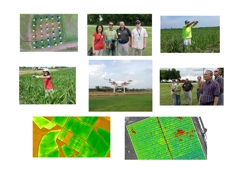 MAS-GIT 2011 students Michael Maloney, Amanda Santmyer and Dr. Yongqin Zhang had field study on Delta State campus. They used cutting-edge spectroradiometer to measure spectral signature of various ground objects. They also collected geospatial data using topographic GPS and other instruments. 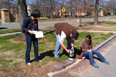 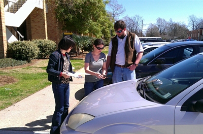 |
| Collecting spectrum of ground objects and a car |
| MAS-GIT 2011 student Jason Weick, Dr. Yongqin Zhang and research scientists at USDA Agricultural Research Services worked together to install a hyperspectral remote sensing sensor on airplane. Airborne remote sensing images were acquired to study health of crops and impacts of pesticide on crops.   |
MAS-GIT 2011 student Marjorie Evangelista created a map of Downtown Pittsburgh Historic walking tour. 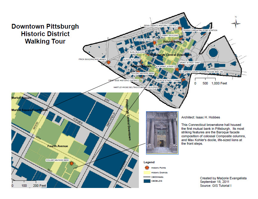 |
MAS-GIT 2011 students Michael Maloney
analyzed aerial photograph and derived ground surface temperature from
thermal images acquired over Delta State University campus. The
temperature map was intended to design the layouts of sprinkle heads
for the golf course. 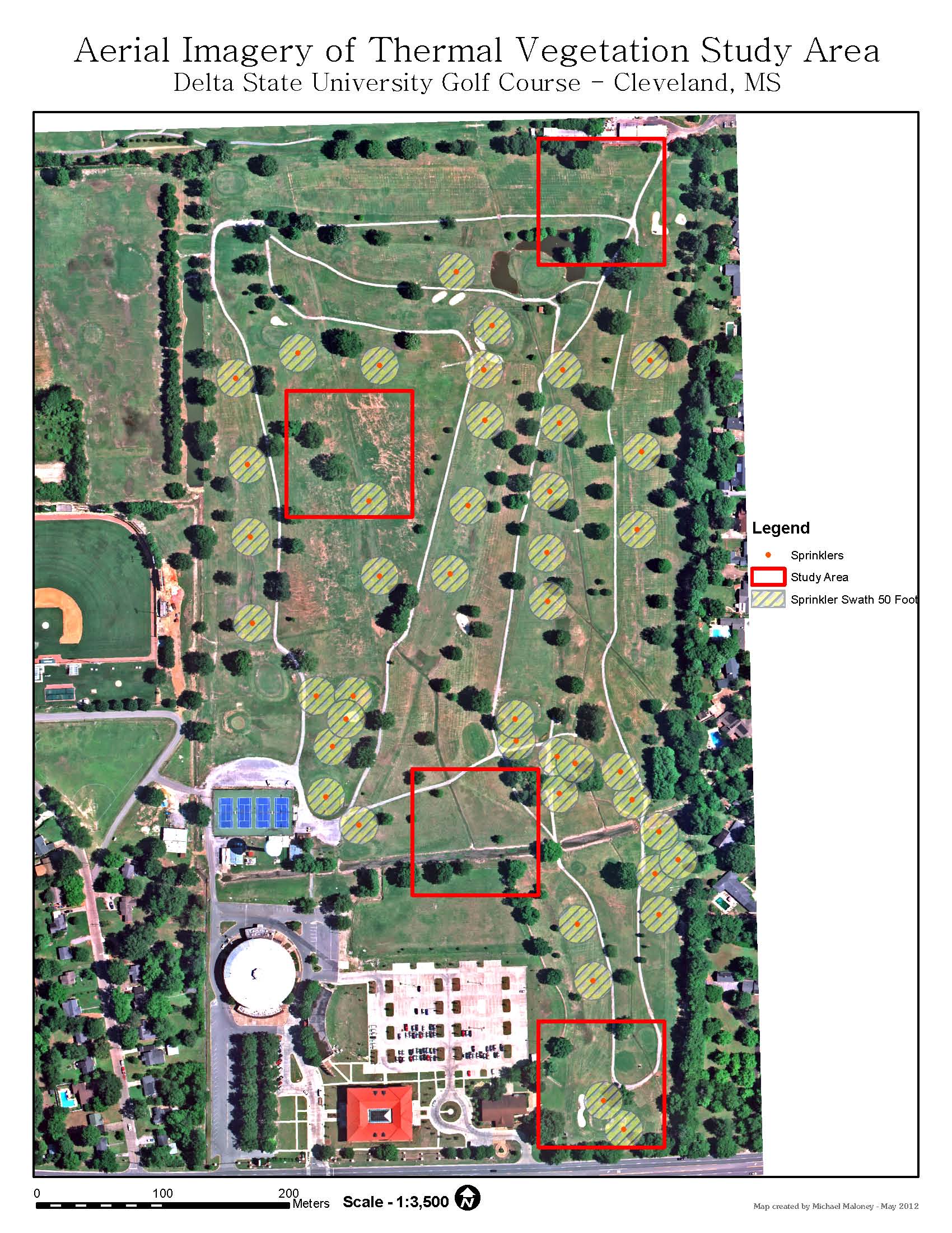 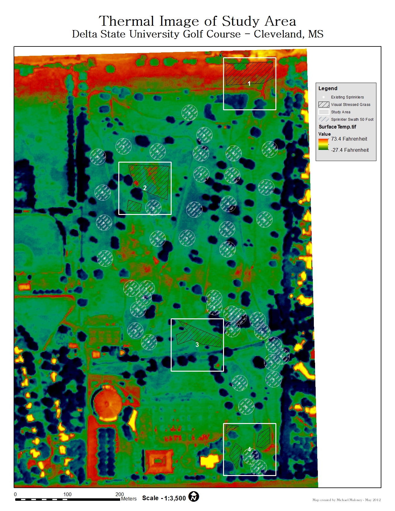 |