 MAS-GIT
program at Delta State University
Research
Graduates
Advisor
News Highlights of the MAS-GIT Students |
||
| GIS Award
Every year, there is one GIS Award granted to the most outstanding GIS Capstone Project. The award is nominated by the
advisor and evaluated by the research committee based on quality of research, originality,
impact of research in GIT field, and communication of results. Christopher Phillips, 2016 GIS Award Winner Blake Davis, 2015 GIS Award Winner Adrien Roth, 2014 GIS Award Winner Jeffrey Ellis, 2013 GIS Award Winnder Christopher Phillips (2016) Blake Davis (2015) Adrien Roth (2014) Jeffrey Ellis (2013) 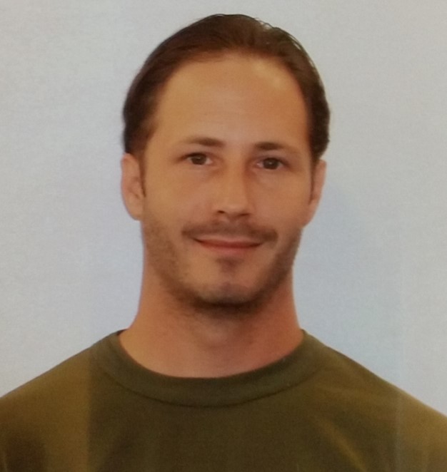 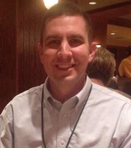 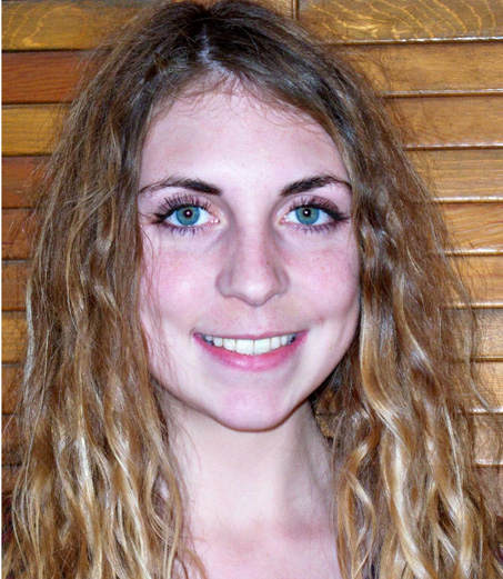  Dr. Yongqin Zhang led three MAS-GIT students to attend and give
presentations on the 4th Mississippi Geospatial conference held at Long Beach,
MS on Oct. 20-21. They gave the following presentations: Kory Iman and Yongqin Zhang, poster “A Geospatial Method to Develop
Infrastructure of Electric Vehicle (EV) Charging Stations”. The poster was
awarded 1st Place Student
Poster Award with a $50 check. Congratulations to Kory Iman! Yongqin Zhang and
Adrien Roth, oral presentation “Investigating the Impacts of Hydraulic Fracturing on Natural Gas
Production and Vegetation Change through remote sensing”. Aaron Francois and Yongqin Zhang, oral presentation “Determining Species of Greatest Conservation Need Occurrence in the
Yazoo River Drainage, Mississippi” Christopher
Phillips and Yongqin Zhang, oral presentation “Study of the Zika
Virus using Disease Mapping and Ecological Niche
Models” 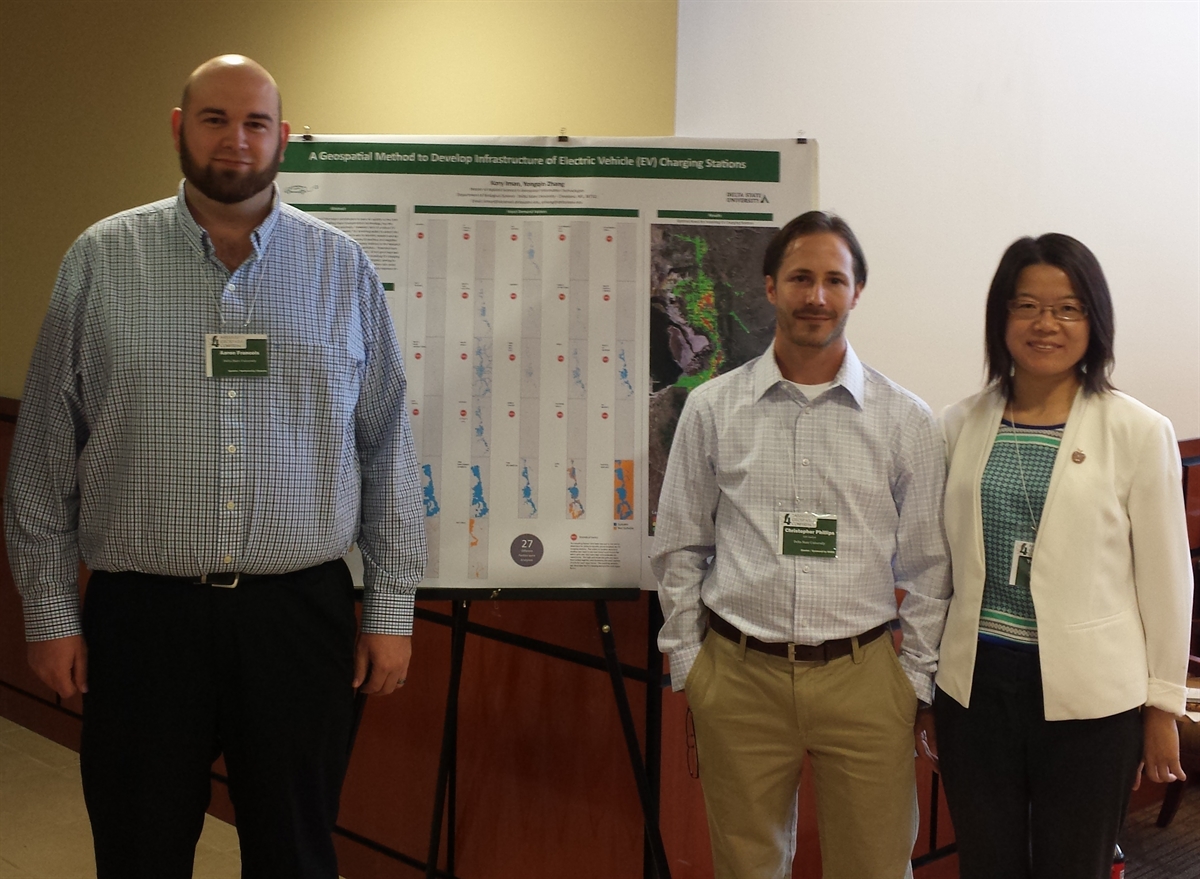 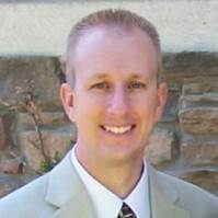 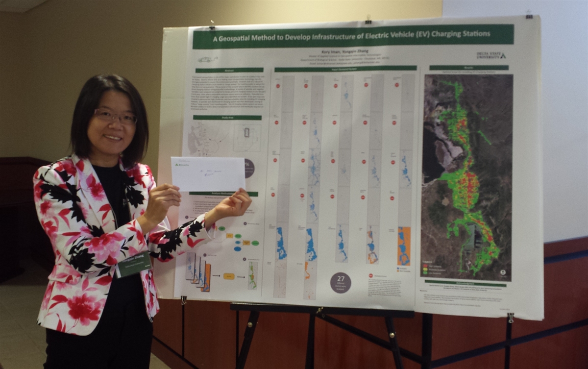 MAS-GIT 2016-17 Graduate Students Attended 1th Mississippi Geospatial Conference, Oct. 2016 First Photo from left to right: Aaron Francois, Christopher Phillips and Dr. Zhang; Second photo: Kory Iman who received poster award; Third photo: Dr. Zhang brought back the award on behalf of Kory (Kory was on another conference in Washington D.C and could not attend Mississippi Geospatial Conference 2016 MAS-GIT student Chris Smith is awarded a 2016 Graduate Scholarship by the United States Geospatial Intelligence Foundation (USGIF). The scholarship program is to recognize graduate student who contribute to the advancement of the geospatial tradecraft. He received $5,000 in recognition of achievements in academic and professional excellence 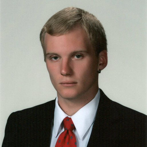  2012 MAS graduate Wayne Drew Fioranelli won Herb Stout Award, the highest GIS local government award in North Carolina, for the innovative thinking in the Mobile311app project. MAS 2013 graduate Shaun Stanton
received a promotion with the boost of his MAS degree. Congratulations! 2012 MAS graduate Nick Parish got a GIS Analyst job position in
Washington D.C. after finishing his study at Delta State University. Chief Warrant
Officer Mitchel Dascent, Geospatial Engineering
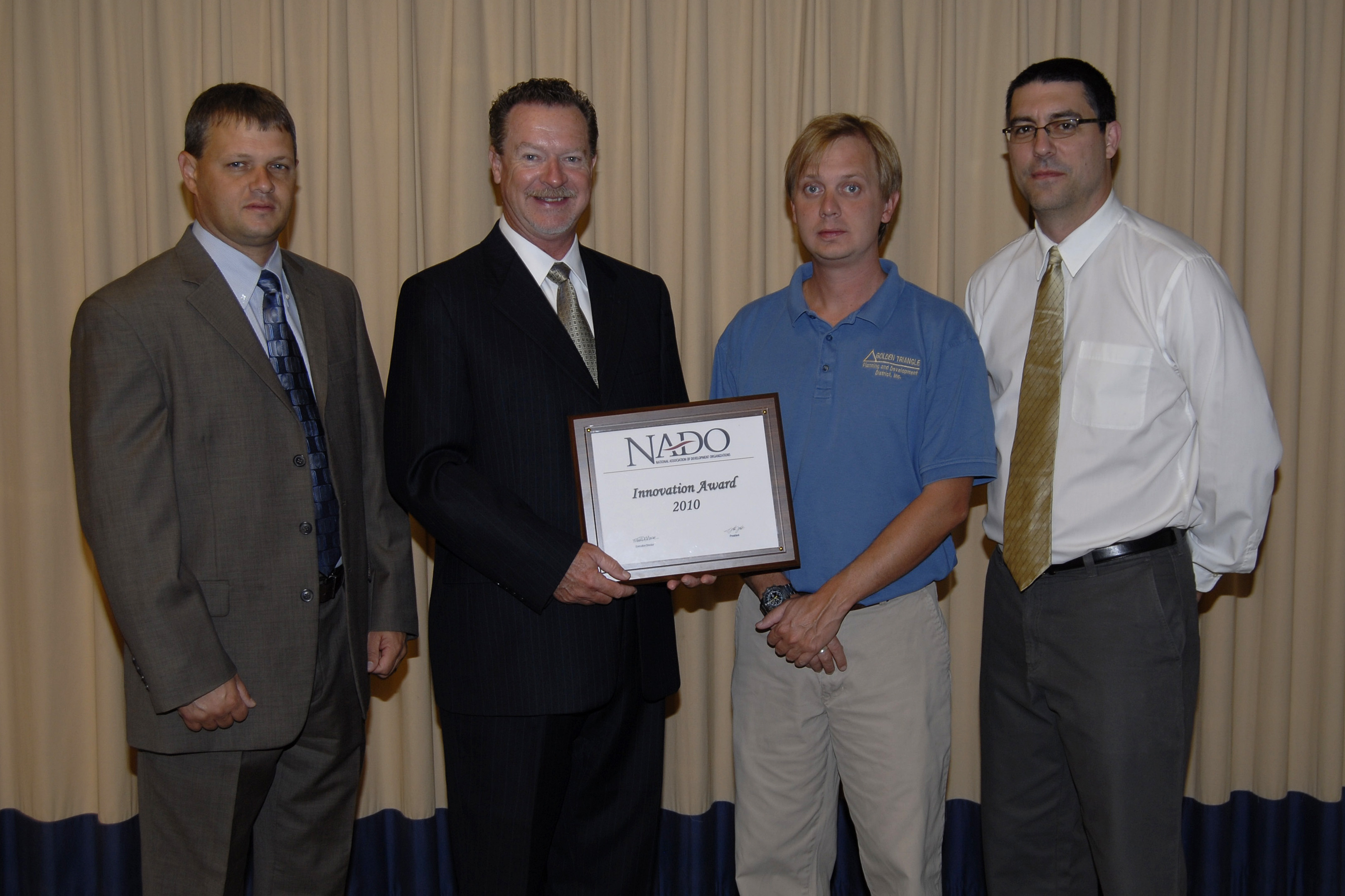
Technician with US Army, is currently in Afganistan for a mission. As the GIS Manager for the Golden Triangle Planning and Development District, Inc., Thomas Sanford works for the County redistrict in Mississippi. More reports on his work have been presented in Starkville Dailynews. More details at: starkvilledailynews1, starkvilledailynews2, starkvilledailynews3 |
 |
 |
 |

